Waterhshed Basics
Click on images to enlarge. Use browser's Back button to return.
A watershed functions like a basin. One basin we use every day is a sink. In a watershed rain water is collected in the basin, the land, and flows to the lowest point, the stream. As you go from the highest point in the basin and travel downhill more and more water is collected into larger and larger streams. Watersheds common names are typically given by the stream they feed into. Considering the large number of streams named Mill Creek and Red River it would become hard to know which river someone is talking about. This is why watersheds are given numeric codes called Hydrologic Unit Codes or HUCs. The HUC tells those studying the watershed whether it is large like the Great Miami, or smaller like Buck Run. Large watersheds or Basins contain many smaller sub watersheds. For instance, Caesar Creek and Anderson Fork Watersheds combine to feed Caesar Creek Lake. Both watersheds are part of the Little Miami Watershed. Little Miami, Great Miami and many others are in the Ohio River Basin. Ohio River Basin is part of the Mississippi River Basin.
Watershed is somewhat misleading since it is the surrounding land which determines the quality of the water in the streams. Local geology, forest cover, land use and urbanization greatly influence water quality. In the Caesar Creek watershed, you find limestone in some streams while glacial till and stones brought to the area by glaciers cover other stream beds.
Caesar Creek State Park provides forest cover and good stream buffers. Once you leave the park the land us in the watershed is mostly agriculture (row crops and grazing pasture).
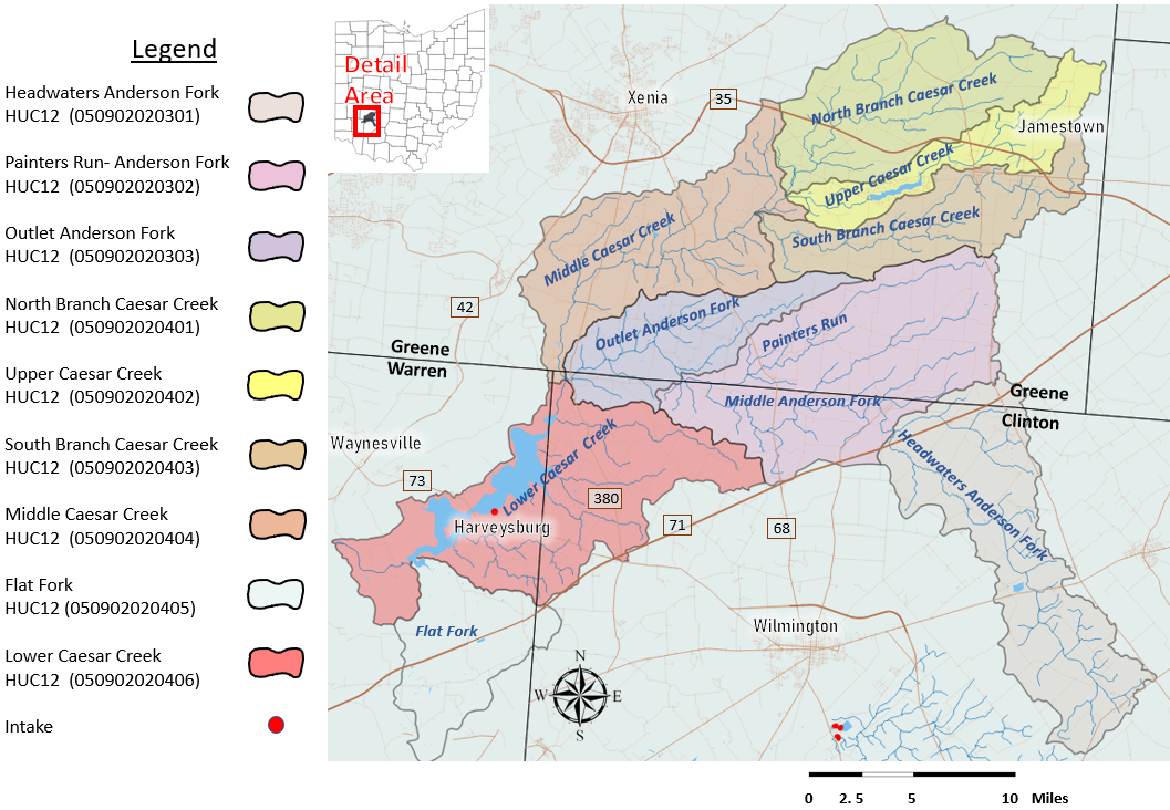
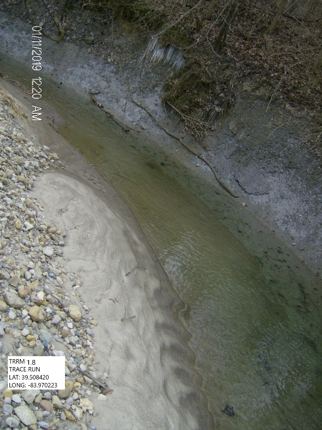
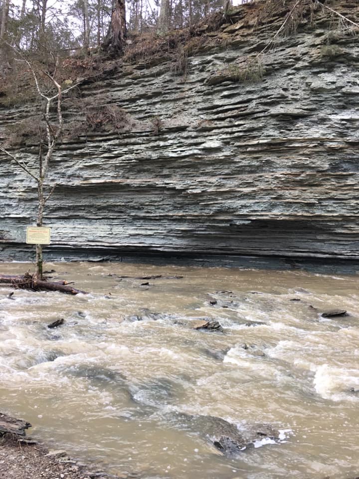
The Caesar Creek Watershed is 237 square miles in area. It extends just South of Xenia, east to Jamestown and south to Wilmington Ohio. Caesar Creek Lake is the primary hydrologic feature of the watershed. The reservoir was built in the 1970s for flood control purposes. You don't have to travel far to see what Caesar Creek looked like before the lake was built. At the far North End of the park, near Paintersville Rd., Caesar Creek is shallow enough you could walk across it. If you visit the Caesar Creek gorge area downstream of the dam it is easy to imagine what the creek was like 200 years ago. Don't take my word for it. Hit the trails and see for yourself.